
Source: Bureau of Meteorology
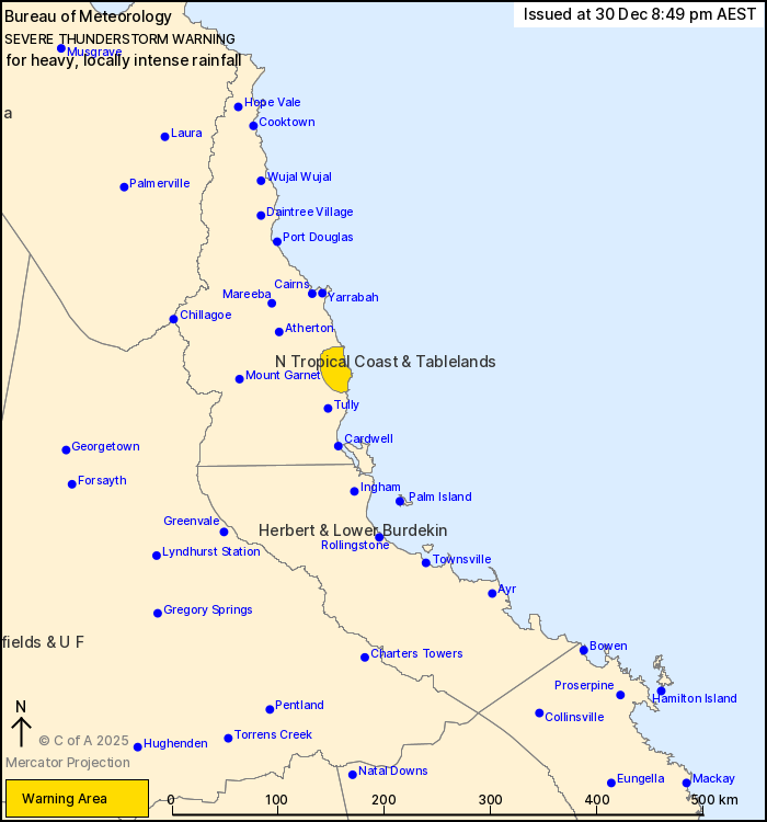
For people in parts of North Tropical Coast and Tablelands
Forecast District.
Issued at 8:49 pm Tuesday, 30 December 2025.
HEAVY TO INTENSE RAINFALL AT INNISFAIL
Weather Situation: Areas of converging enhanced onshore winds over
the north tropical coast combine with a very humid airmass to bring
the risk of heavy to intense rainfall in slow moving showers and
thunderstorms.
VERY DANGEROUS THUNDERSTORMS are likely to produce heavy, locally
intense rainfall that may lead to dangerous and life-threatening
flash flooding in the warning area over the next several hours.
Locations which may be affected include Innisfail.
99 mm of rainfall was recorded at Marco St (innisfail) in the
60min to 8:29 pm.
Emergency services advise people to:
* If you have children make sure they are with you or an adult you
trust.
* Park your car undercover away from trees.
* Close doors and windows.
* Keep asthma medications close by. Storms and wind can trigger
asthma attacks.
* Charge mobile phones and power banks in case the power goes
out.
* Put your pets somewhere safe and make sure they can be
identified in case they get lost.
* Do not drive now unless you have to because conditions are
dangerous.
* Tell friends, family and neighbours in the area.
* Go inside a strong building now. Stay inside until the storm has
passed.
30/Dec/2025 10:56 AM

